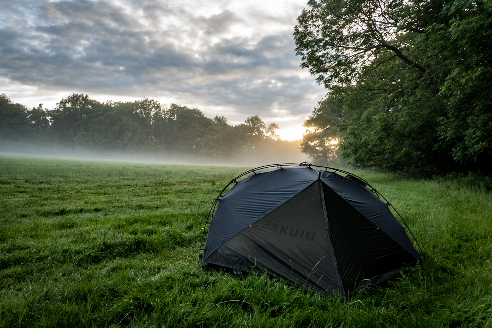
We woke up to a tiny bit of mist and of course the tent was drenched with condensation, the grass around us sodden with dew. We decided to pack up and move on for breakfast somewhere less soaked so I shovelled a cereal bar into my chops to stop myself from launching myself teeth first at the cows in the next field.
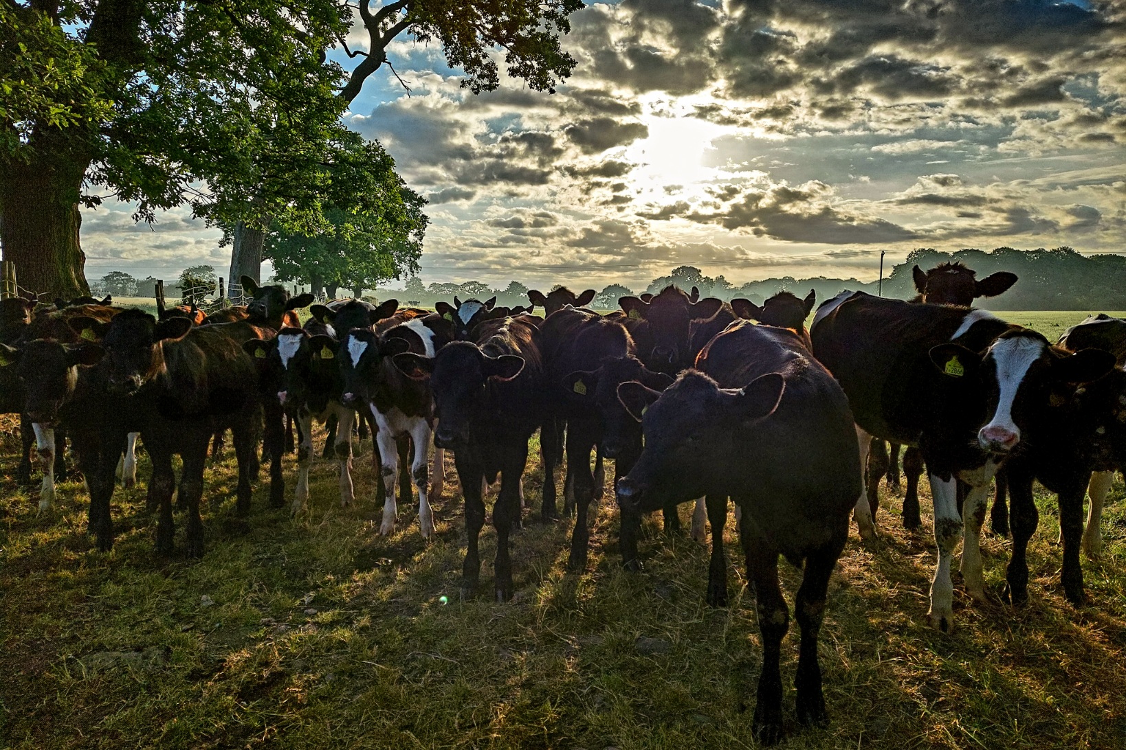
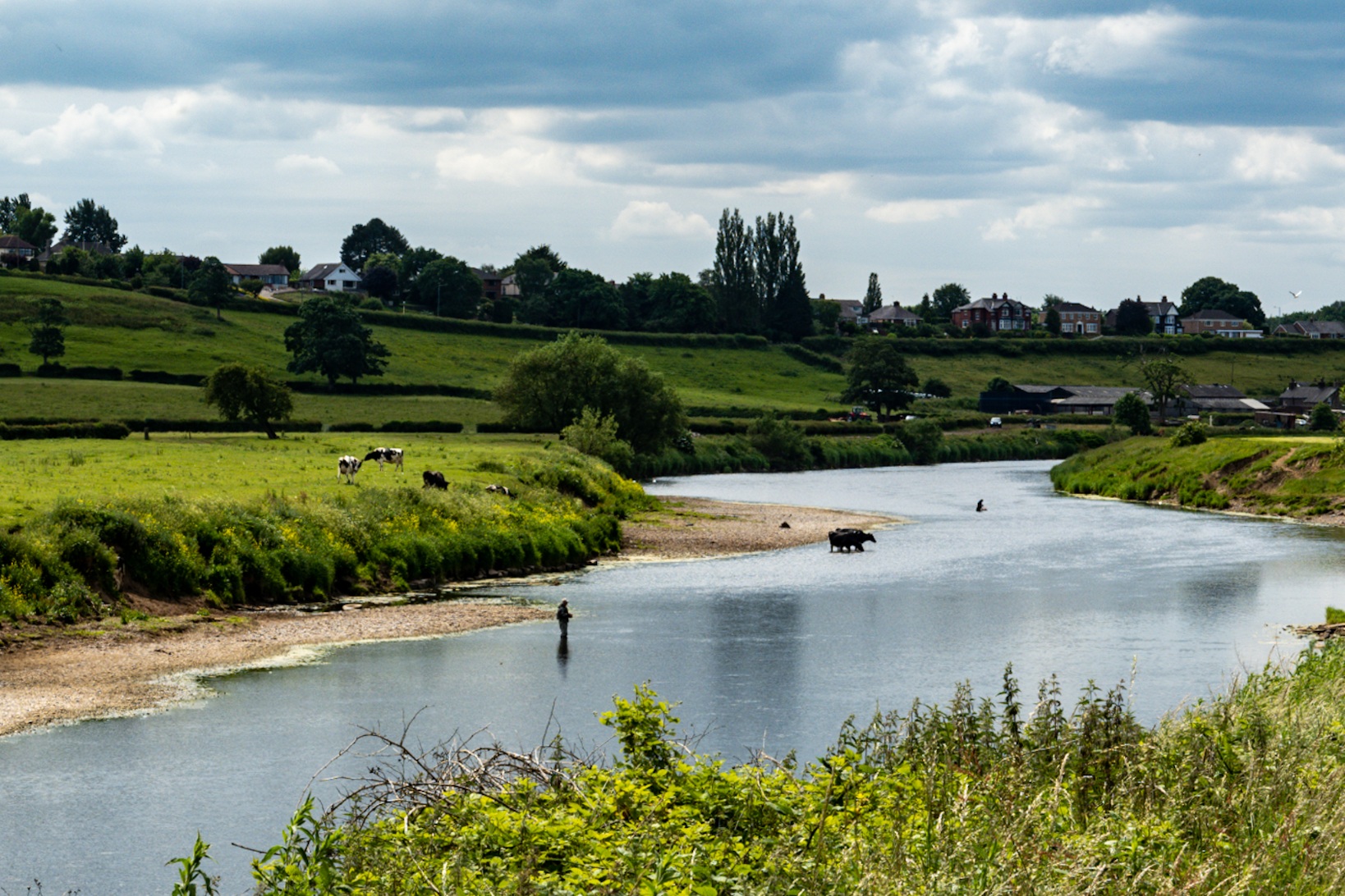
There are many fields full of small cows at the moment. I’m no farmer but I’m guessing they were born in the spring and had grown enough to be into a field of their very own resulting in a gauntlet of very curious adolescent bovines who were far too fucking interested in what we were doing for my shaky comfort levels. We got over the stile from our empty camping field and several faces turned to stare. Oh. Shit. They stuck with us literally the whole way. I tried to let the words of the farmer from the other morning sooth me; “Cows don’t chase you, they just follow you.” I glanced over my shoulder at the herd very definitely chasing us and flew over the stile at the end before turning round and taking this picture.
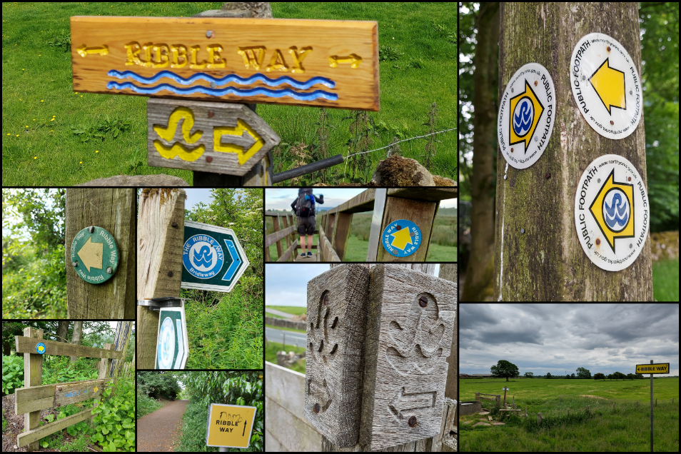
So today we managed to take our lovely, cruisy fifteen mile day and turn it into a twenty mile monster. We are, it seems, particularly adept at going the wrong way. To be fair, the Ribble Way is for the most part appallingly signposted, you will very much need a map for much of this trail, but ironically it was at one of the better signposted sections we fucked up. In fact we followed all of the lovely, frequent signposts all the way to a stile with a very faded sign advising us that the way was closed due to a footbridge being taken out by a landslip. You are shitting me.
The map with the detour was too faded to make out but Tarrant has OS Maps on her phone so we backtracked a whole bloody mile to where we’d emerged over a stile and yep, we’d missed an equally faded sign there telling us to go the other way. In fairness, the detour is well waymarked once you locate the bugger and I’ve since discovered it’s been in place since 2018 and it might become permanent as it’s going to cost six figures to replace the footbridge. The diversion is actually quite lovely to be fair though it does involve some brutally steep steps into Tun Brook Woods. I don’t think it’s much longer than the original trail, at least it’s not if you don’t end up traipsing a mile up the wrong way first.
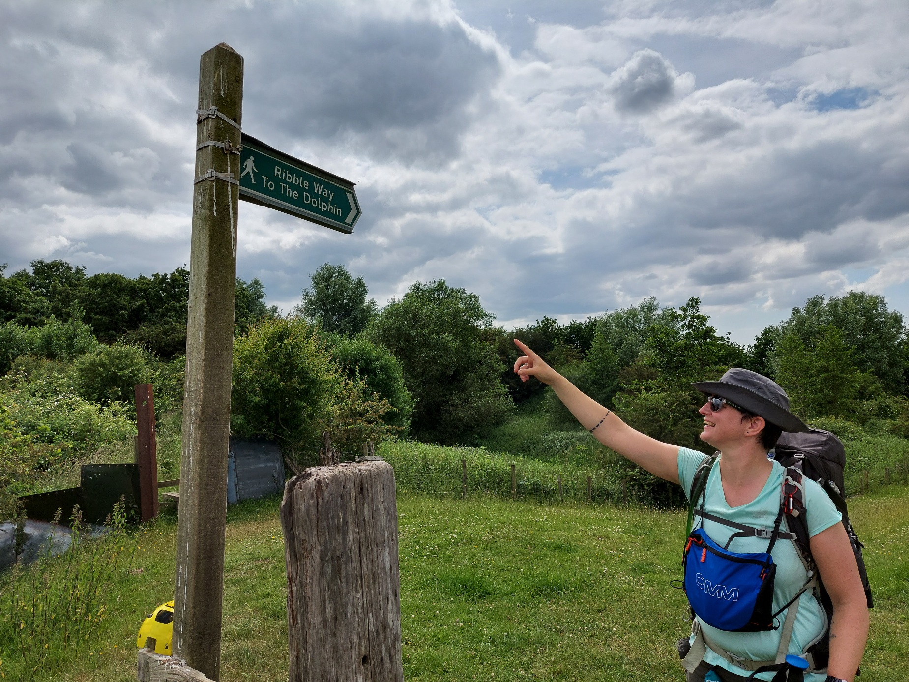
Tarrant has this thing when we do a multi-day hike; she believes that the finish line should be crowded with well-wishers congratulating us on our achievement. She used to run marathons before her knees rebelled against the insanity of rapidly covering twenty six and a bit miles in four hours so she expects the adulation that comes with crossing a finish line and being wrapped in silver foil. Obviously this isn’t a thing that happens when you randomly decide to hike for several days in a row but we met a dog walker as we finished the detour and he commented on our backpacks and asked if we were going far today.
“Oh we’re doing the Ribble Way,” I told him, “today is our last day though, we started on Monday.” He seemed impressed and even congratulated us on finishing. Tarrant beamed from ear to ear. Okay, so it wasn’t the finish line cheering of a marathon but she’d take it.
We found a picnic bench close to Red Scar Woods and sat down for some breakfast and I don’t think I’ll ever get bored of rehydrated carbohydrates with the nutritional value of a spanner. I fucking love them. I pretty much lived off noodles in my early twenties and eventually progressed to the dizzy culinary heights of rice, but I could shovel this shit into my chops all day. The addition of Frank’s Wings sauce is essential though, but to be fair I largely consider food a vehicle to apply Frank’s to my facehole. We were having Mug Shots for breakfast and rice for dinner, though I’m well aware when we do the Big Walk next year we’re going to have to diversify if we don’t want to die of malnutrition.
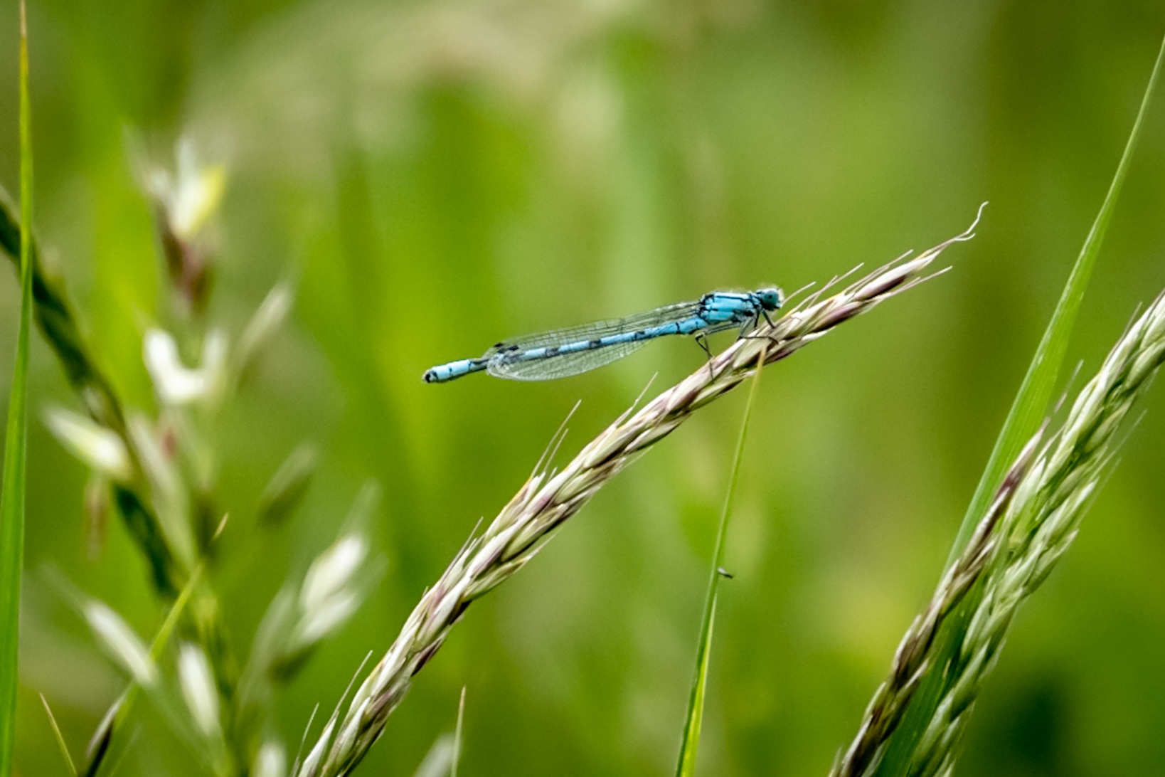
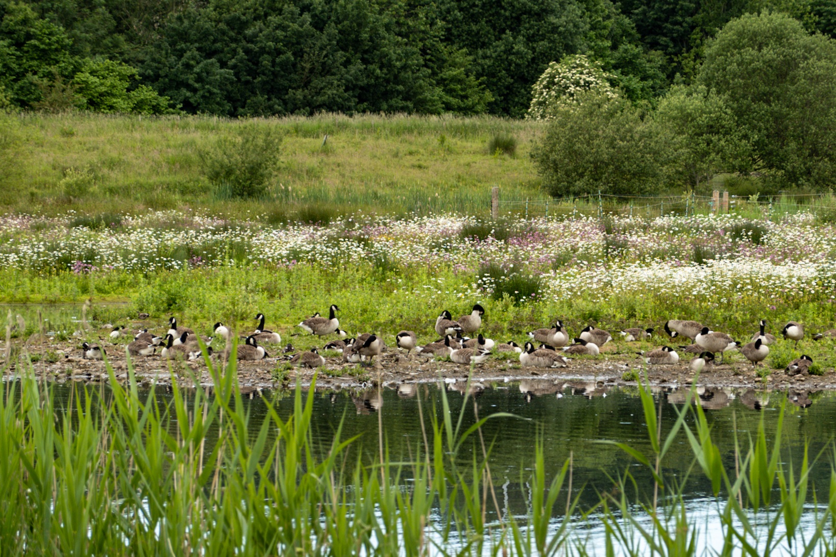
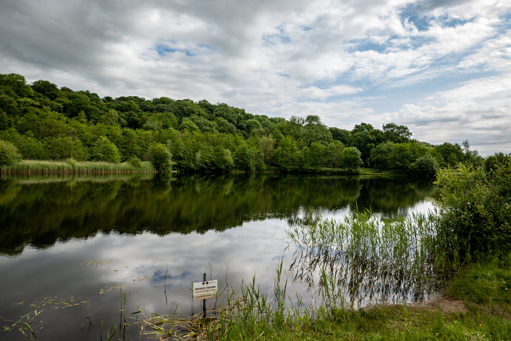
It wasn’t far from here to the Brockholes, a nature reserve that the trail cuts straight through. There’s also a visitor centre with a cafe and a toilet but it didn’t open until 10am. We had about 50 minutes to kill and I’ve always wanted to check out the Brockholes having seen the signpost for it every time I drive up north to visit my folks. This is where we added a few more miles onto our day, walking round all the ponds to check out the birds. It was a very pleasant way to kill a bit of time though, and we got to the visitor centre not long after it opened. The main restaurant is closed for a refurb but there was a very small cafe flogging crisps and packaged stuff, as well as hot drinks. We utilised their toilets, grabbed a cuppa each and chilled for a bit.
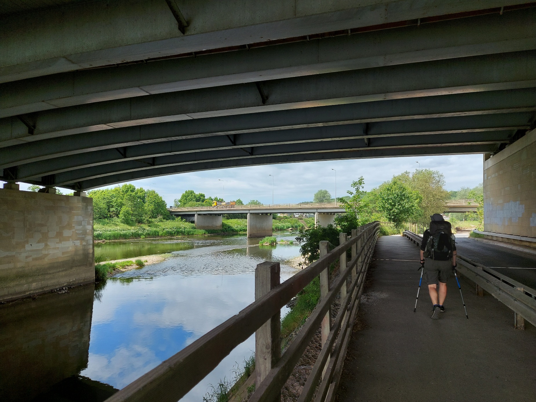
It’s an easy day from here on in. In fact, despite managing to conjur an extra five miles out of thin air I considered the whole of today an easy jaunt. The trail is pretty much riverside through Preston, and it’s the parks of the city rather than the city itself. Avenham Park has public toilets and a cafe where we refilled our bottles then we just smashed through until the end. Once you cross the river not too long after the park it’s just a flat, long march. If anything it’s dull, possibly more so because you’re on the home straight and you can almost taste the pint you fully intend to reward yourself with.
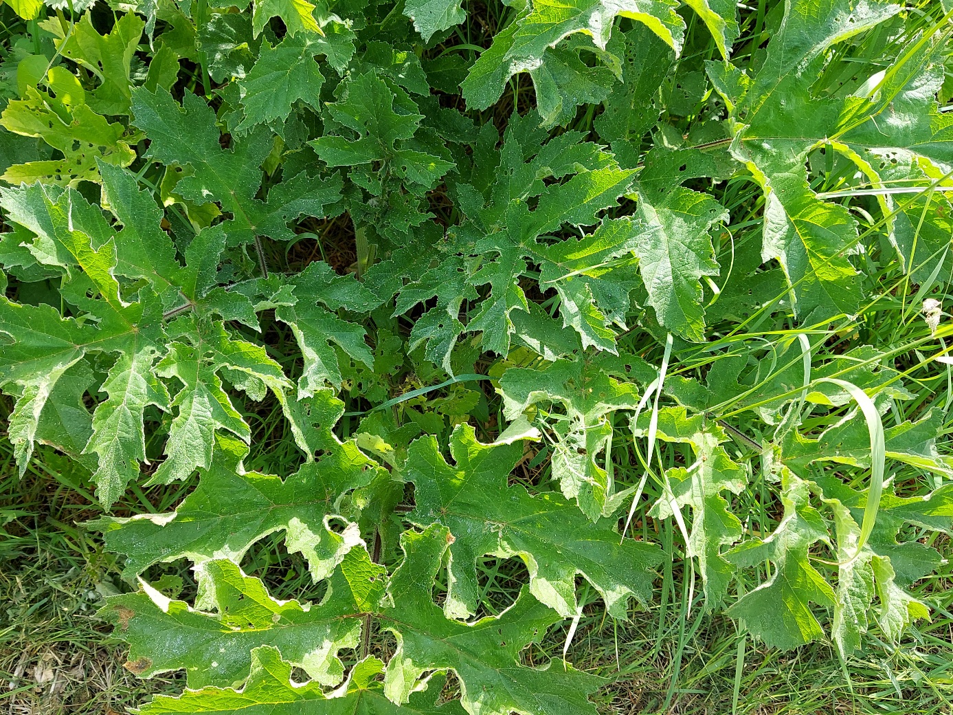
There was a section that we had to slow down on, it was rife with giant hogweed and the path was narrow and overgrown. We gingerly picked our way through the growth, trying not to let the leaves touch us. That shit is awful if you get the sap on you, it’ll blister terribly in the sun. Tarrant has been got by it before and it took three weeks for it to fully go away. Keep an eye out for it if you’re attempting this trail and are quite partial to having skin as there is quite a bit of it, but you’ll see warning signs with photos showing you what to look out for.
What didn’t help the last, long slog was the heat. It had been overcast all day but shit me, it was humid! Between the potential sunburn and the whole exerting oneself in the humidity, my face was bright red, like a fucking beacon. You could see it from space. We kept on, one foot in front of the other, until eventually, finally, we made it to Longton Marsh and the Dolphin Inn where we stumbled through the pub to the beer garden at the back and located a human to sell us two pints of some manner of cool, refreshing lager.
That’s it, then. 82.6 miles of a 72 mile walk done, which is testament to our unrivalled capacity for faffing, but at least it finished at a pub. I don’t know why most people do the Ribble Way the other way. Tarrant pointed out that it make more sense to start where the river does and follow its journey from barely a trickle to an absolute beast. Plus you’re finishing in bum-fuck nowhere, there’s nowhere to get a pint or some cake or anything to ingest by way of celebration.
We were originally going to walk into Longton and catch a bus to Preston train station to get back to Blackpool but my parents offered to come and fetch us which was amazing. We managed to squeeze in a pint and a half each before our chariot arrived and took us back to the land of hot showers and food which wasn’t rendered edible by adding hot water.
STATS
Day: 5
Distance walked today: 20.1 miles / 32.35 kms, because we went totally the wrong way at one point, and had a wander around the Brockholes too.
Total walked so far: 82.6 miles / 132.93 kms.
Weather: Hot, humid, but overcast.
Coldest temp last night: 7.1°C
Days since shower: 4
![]() Alston to Longton Marsh, Lancashire, England
Alston to Longton Marsh, Lancashire, England
Stayed at: Back at my parents’ house in an actual bed with a duvet and everything.
Activity: Hiking the Ribble Way from north to south.
Useful shit to know…
- If you’re heading into Preston, when you get to 53.797029, -2.613142 / N53°47′49.3″ W02°36′47.31″ your map might tell you to go left. Don’t! Go right, then take the first left over the waymarked stile and you’re on the diversion then. I believe if you’re coming the other way the diversion begins at 53.785273, -2.629147 / N53°47′06.98″ W02°37′44.93″
- Thanks to the Ribble Way Action Group for all the work they do maintaining this section, and they’re going to improve the signage for the diversion heading towards Preston.
- The Brockholes are free entry but the car park is £5 to park all day. Given the location I would imagine most people arrive by car. There’s a donation box by the toilets so we chucked a fiver in as that’s how much we would have paid if we hadn’t done this trail and gotten around to visiting another time.
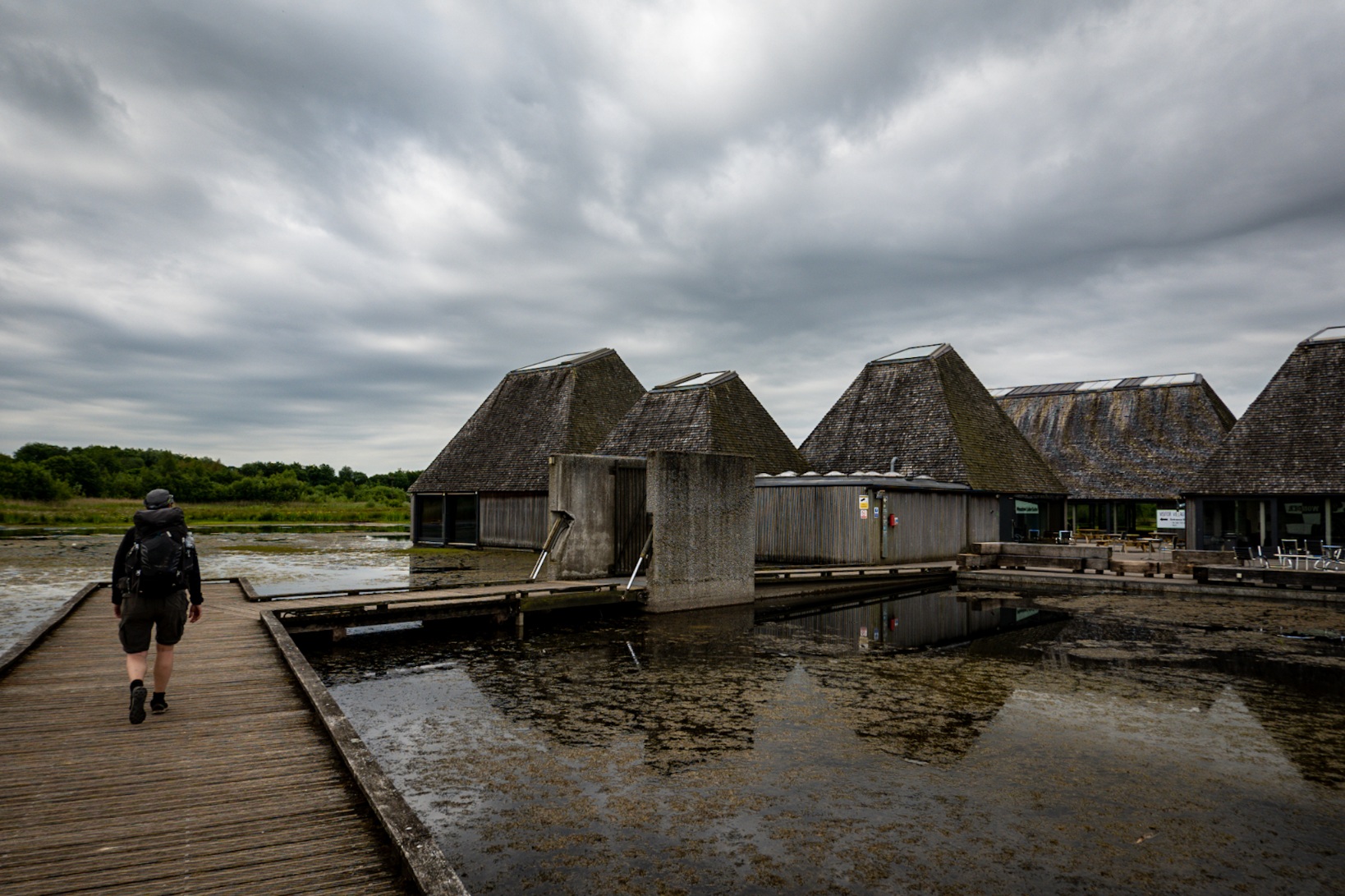
- I believe the car park opens at 6am, but I see no reason as to why you can’t walk through it earlier if you’re on foot. The visitor centre and toilets don’t open until 10am.
- The tap water at the Brockholes is grey water so don’t rely on this to fill your bottles unless you have a filter.
- If you do decide to start at the Dolphin Inn and finish way up in Whoop-Whoop you could always then continue along the Pennine Bridleway to the Pennine Way then use that to get down to Horton In Ribblesdale which has all manner of exciting things such as phone signal and a train station. You’re looking at about nine miles.
- We need to talk about signage. It’s excellent for some sections and non-existent for others. There are a plethora of different signposts and waymarks in use, they’re just not very liberal with said use. We downloaded a KML file for use with Maps.Me, and Tarrant has a full OS Maps subscription on her phone too. You’ll need something.
BUDGET
Cafe at the Brockholes: £5.20 each.
Cafe at Aversham Park: £1.50 each.
Brockholes Donation: £2.50 each.
Beers at The Dolphin Inn: £5.70 each.
TOTAL: £14.90 each.
